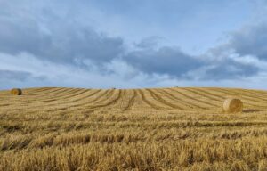
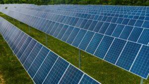
L'precision agriculture it is an agricultural practice that is based on the use of advanced technologies For optimize crop management And reduce environmental impact. Among these technologies, i satellites they play a key role, as they provide useful data for the monitoring e there planning of agricultural activities.
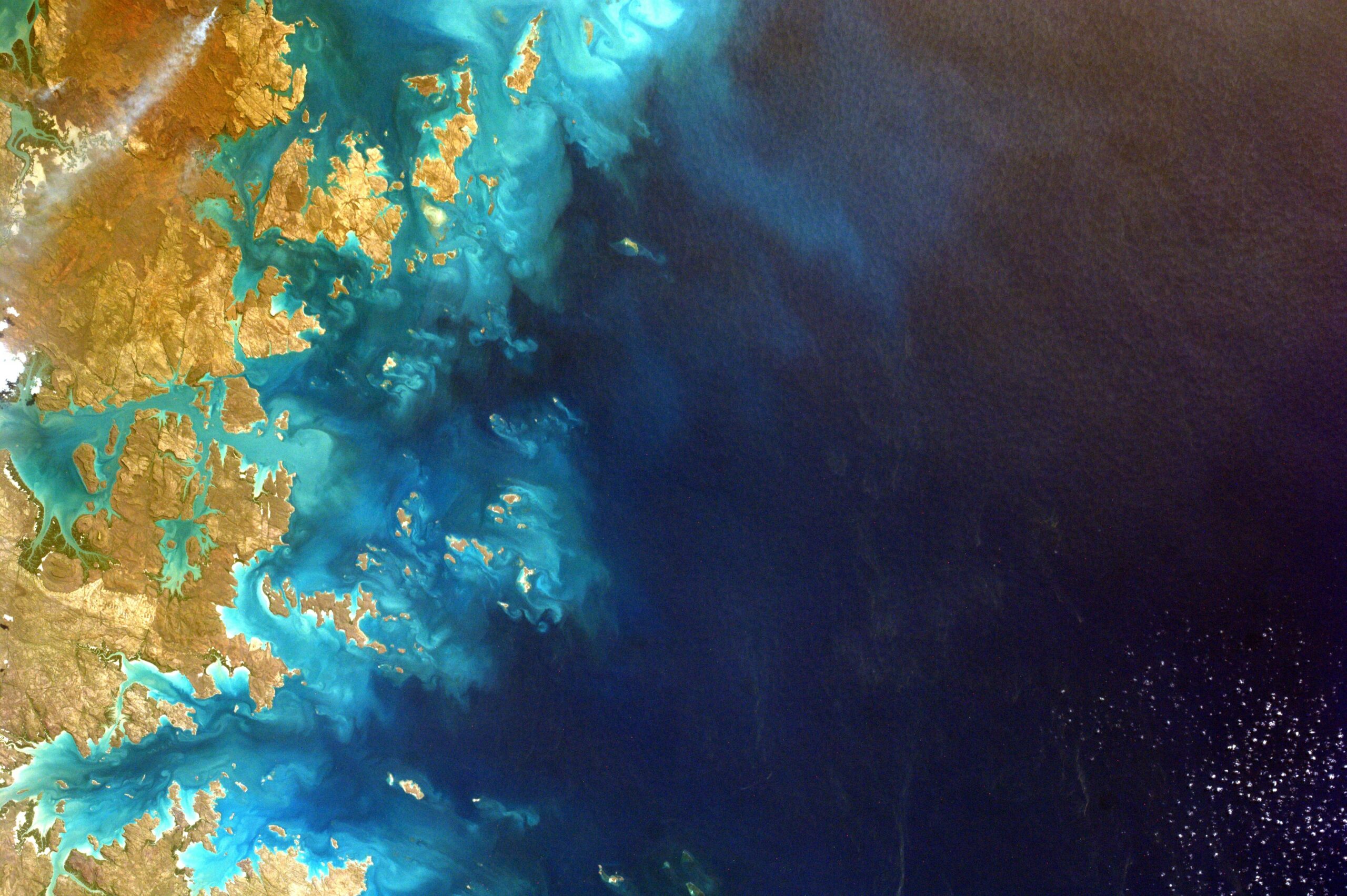
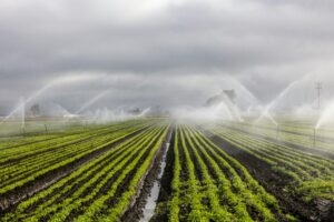
Satellites are capable of producing high resolution images of Earth's surfaces, which can be analyzed to detect various crop parameters, such as the growth of biomass, Lto water availability, it thermal stress, the presence of diseases or parasites, etc. The farmer can use this information to adapt agricultural practices, as the sowing, the fertilization, L'irrigation and the plant protection, to the specific conditions of homogeneous portions of each plot.
Satellites can also provide weather and climate data, such as temperature, L'humidity, the solar radiation, the rainfall and the wind, data that can be used for predict crop behavior And anticipate possible climate risks, such as drought, frost, floods and hailstorms.
Finally, satellites can report data on topography, the soil, theland use, the plant cover, useful data to characterize the potential and limitations of agricultural areas and to evaluate their environmental impacts, such as erosion, desertification, loss of biodiversity, pollution, greenhouse gas emissions.
The use of satellites in precision agriculture has a long history, dating back to the 1970s, when NASA launched the first ones Landsat satellites, which they were able to acquire multispectral images of the Earth. Since then, many other satellites have been launched by different space agencies, both public and private, with different characteristics and purposes.
The fundamental satellites for precision agriculture
After NASA, especially since the 2000s, the satellites launched for also support precision agriculture they were different. Among them the main ones are:
• The Sentinel constellation, launched byEuropean Space Agency (ESA) as of 2014, which includes six different types of satellites, each with a specific mission. THE Sentinel-1 and 2 are dedicated to Earth observation and provide high-resolution, high-frequency radar and optical images, useful for crop monitoring. THE Sentinel-3 and 6 they are dedicated to the observation of the oceans and provide data on sea level, temperature, color and salinity of the water, useful for monitoring water resources. THE Sentinel-4 and 5 they are dedicated to the observation of the atmosphere and provide data on air quality, climate and greenhouse gas emissions, also useful for monitoring the environmental impact of agriculture.
• The Gaofen constellation, launched by China starting in 2013, which hosts various optical and radar satellites, with different resolutions and acquisition methods, which aims to provide high-definition images of the Earth, useful for various purposes, including sustainable agriculture .
• The Formosat-2 satellite, launched by Taiwan in 2004. This high-resolution, high-frequency optical satellite is capable of acquiring daily images of the same area. It also brings us useful images for monitoring natural resources.
• The Kompsat-3A satellite, launched by South Korea in 2015, is a high-resolution optical satellite, capable of acquiring night and thermal images, providing useful images for crop monitoring, in particular for detecting thermal stress.
• The Radarsat-2 satellite, launched by Canada in 2007, a high-resolution radar satellite, capable of acquiring images in all weather and lighting conditions. Its objective is to provide useful images for crop monitoring, in particular for detecting soil and plant moisture.

NASA and ESA satellites
ESA and NASA are two of the main space agencies that operate in the field of Earth observation and which, through images from their satellites, offer data and services useful for precision agriculture.
In addition to the aforementioned Landstat and Sentinel, among the most important ESA and NASA satellites for precision agriculture we can mention:
• The Earth satellite, launched by NASA in 1999, a satellite which carries a payload of five sensors that acquire data on different aspects of the Earth system, including the atmosphere, biosphere, cryosphere, hydrosphere and lithosphere, providing information on weather conditions, carbon cycle, energy balance , crop dynamics, land use and evapotranspiration.
• The Aqua satellite, launched by NASA in 2002, also a satellite with multiple sensors, which informs us about soil and plant humidity, surface temperature, precipitation, clouds, water vapor and snow and ice.
These are just a few examples of ESA and NASA satellites that are used in precision agriculture, but there are many others, also operated by private companies, that offer different services and applications.
The "new frontier" is then made up of hyperspectral satellites, which collect data over a much wider range of the electromagnetic spectrum than traditional space sensors and which offer enormous potential, partly still unexplored. Among these it is worth mentioning PRISM (Hyperspectral Precursor of the Application Mission), the hyperspectral satellite of theItalian Space Agency, which is equipped with the most powerful operational hyperspectral sensor in the world.
The use of these satellites in precision agriculture has many advantages, such as the possibility of having a global and detailed vision of agricultural areas, Of reduce costs and the times of operations, to increase the productivity and quality of crops, to improve resource management and to reduce environmental impact.
However, it is necessary raise awareness and train farmers on services based on information from satellites and their integration into their daily work.


Add comment
You must be logged in to post a comment.