In a previous article the milestone achieved with the was told financing obtained for the project Tethys Plus, designed for Improving the decision support system in precision agriculture. Since then, many things have been done numerous steps forward, with a specific focus on areas such as water resources management, L'crop yield optimization and the satellite image qualityThe progress achieved so far confirms the validity of an approach that aims at a more sustainable and efficient agricultural management through the integration of information and services within the same platform.
Field Notebook: A Centralized System for Farm Management
One of the first goals was the creation of a digital field notebook, designed for simplify business management. There design of theIT infrastructure, both for the back-end and for the front end, has been completed, while the backend development is nearing completion. The user interface is planned as a next step, for make data accountable and accessible in an intuitive wayIt is important to remember how filling out the field notebook is mandatory since 2001; its digital version is, therefore, even more necessary and urgent.
Improving the quality of satellite images
For optimize crop monitoring, we worked with the University of Cassino on'satellite image analysis, addressing the problem of clouds and shadows not detected from the automatic systems made available by ESA and NASA. The Manual data collection, L'analysis of scientific literature and the creating an image database to be used as a dataset to “train” an artificial intelligence system. The phase of AI algorithm design and related software is currently underway, with testing and integration planned in later phases.
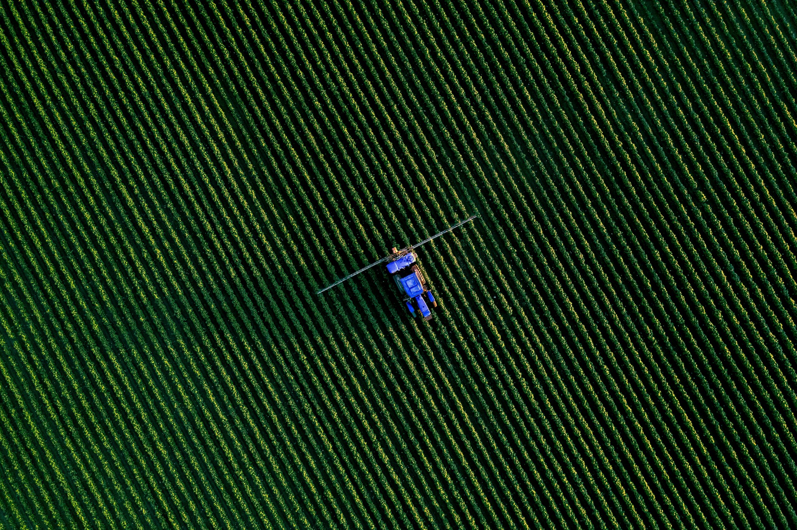
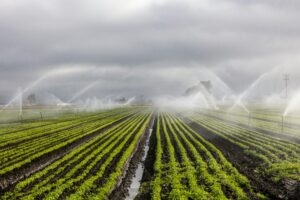
Optimizing irrigation management for tree crops
A significant progress concerns the irrigation management of crops such as hazelnut and olive, to further improve the calculation processes, adapting existing water models to the specific characteristics of tree crops. I Past year tests have demonstrated that the use of the system Tethys can reduce water consumption up to 60% in particularly rainy years. Real-time experiments are currently underway on six agricultural companies of the cooperative Assofrutti from Caprarola (VT).

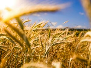
Agricultural Yield Estimation
For enrich the range of services based on the processing of satellite images available to users, the necessary activities have been started to make them available in the web app daily biomass production maps, which allow the continuous monitoring of crop growth. The algorithms for the calculation of the yield I am in the validation phase and will allow precise and site-specific estimates which take into account any crop stress.
Precision Fertilization: Customized Prescription Maps
There fertilization represents acrucial area of precision agriculture. In this regard, the methodology for creating prescription maps starting from the processing of yields carried out with satellite data and field tests are underway to optimize the technique. The procedure will subsequently be integrated into the TETHYS system, providing farmers a precise tool for optimal fertilizer management.
Towards the next stages
There are still some key activities to be completed, such as the finalizing the front-end for certain modules, L'satellite image correction software integration and the final test verification. The results already obtained represent an important step towards a more efficient and sustainable agricultural system.

Add comment
You must be logged in to post a comment.