TETHYS processes precise analyzes of your plots thanks to four powerful satellites from ESA and NASA.
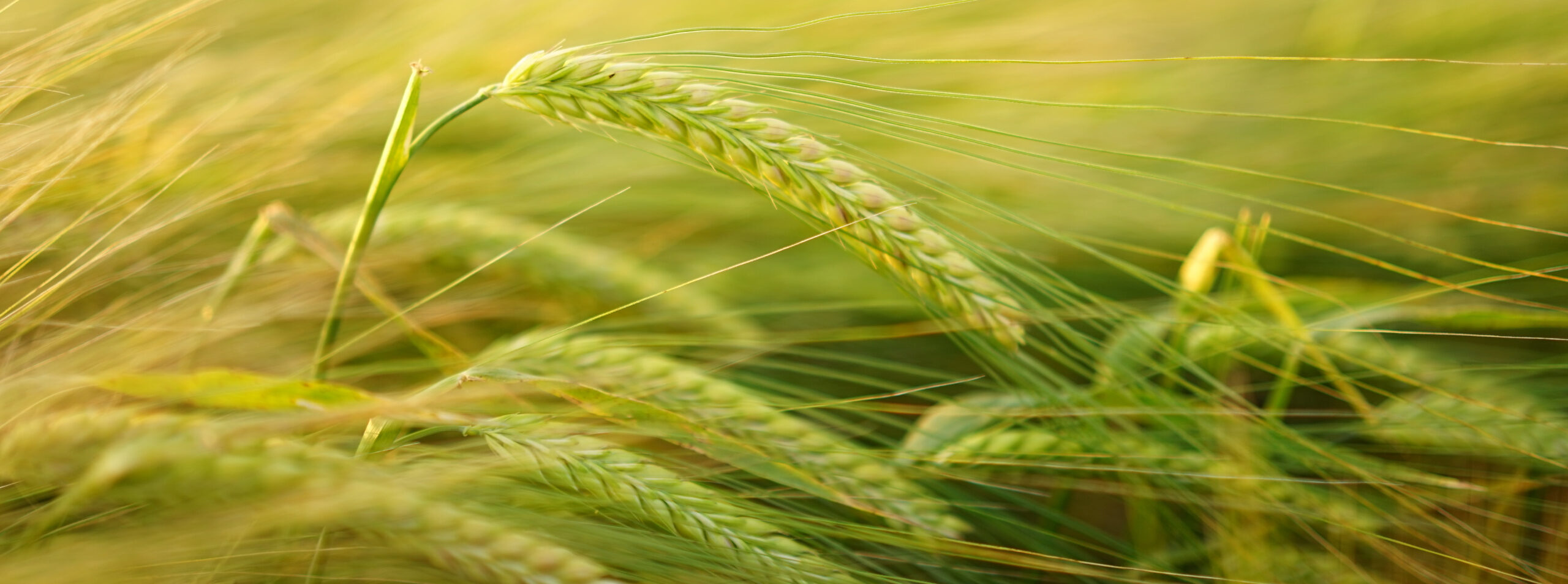
Agriculture 4.0 on a large scale
Choose TETHYS as your trusted Decision Support System: every day it analyzes a gigantic amount of data to develop maps and valuable advice for Italian agricultural companies.
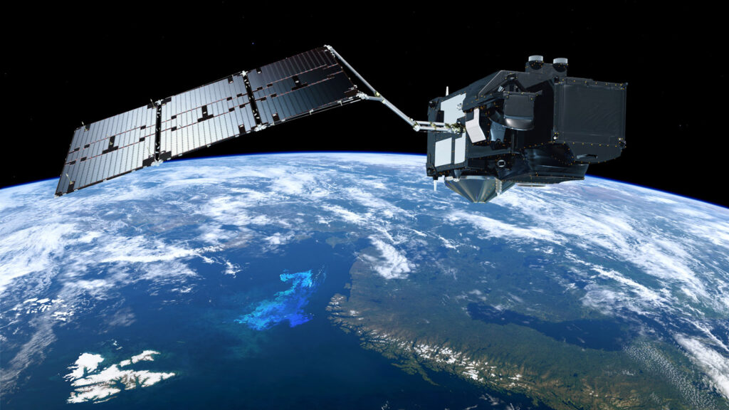
TETHYS processes data of a different nature (historical, forecast and real-time weather data and information on the soil and the agronomic techniques used), and at the basis of all our services are the satellite images acquired by 4 satellites ofESA and of NASA. Satellite images give you an updated, precise and complete picture of what is happening on the pitch.
TETHYS processes earth observation data acquired thanks to latest generation optical and thermal sensors. The satellites follow orbits around the earth and fly over the same portion of land at regular intervals (revisit time), acquiring images on different frequency bands (red, infrared, near infrared are the most important for agriculture).
TETHYS combines data from 4 satellites to have richer and more complete time series: – Sentinel 2A And Sentinel 2B, with 13-band multispectral sensors, spatial resolution of 10x10 meters and revisit time of 5 days – Landsat 8 And Landsat 9, with 4-5 band multispectral sensors and thermal sensor, 30x30 meter resolution and 8-day revisit.
How does it work TETHYS?
TETHYS downloads and processes volumes of data continuously and extracts useful analyzes for your crops, day after day.
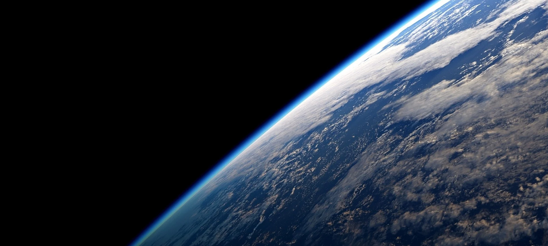
Every day, every hour, let's check if ESA and NASA satellites have released a new photography of your crops, taken from over 700 kilometers above sea level. As soon as one of these new high-resolution images is released, we download it to our servers and process it with our patented calculation system.
We correct the reflectance data detected by satellite sensors, to remove the interference due to the presence of the atmosphere (signal diffusion and absorption), using sophisticated computing systems made available by ESA (Sentinel-2 toolbox; Sen2Cor) and NASA (Land Surface Reflectance Code: LaSRC).
We identify andwe screen the cloudy pixels, always applying the best methodologies suggested by ESA (Sen2Cor) and NASA (Fmask and ATCOR). If cloudy pixels exceed two thirds of the total pixels of the monitored area, the image is not considered in our analyzes and the data is interpolated.
How does it work TETHYS WATCH?
On each 10 m x 10 m plot of your plots, TETHYS WATCH calculates four indices essential for complete monitoring of the health and growth of your crops.
NDVI (Normalized Difference Vegetation Index) it is a vegetation index that measures the health of crops, perhaps the best known and most widespread. Monitoring NDVI in space and time allows us to identify any areas of crop distress in advance and intervene where needed in a targeted and timely manner.
NDWI (Normalized Difference Water Index) it is a vegetation index that measures the water content of a crop. Monitoring NDWI in space and time allows for the early identification of any areas of water stress; the index is also very useful for identifying the optimal harvest time.
LAI (Leaf Area Index) it is a biophysical index that measures the relationship between the leaf surface of a crop and that of the underlying soil. A high leaf surface allows the plant to intercept a large part of the incoming solar radiation and therefore to grow more vigorously and at a faster pace.
FCover (Fraction of Vegetation Cover) it is a biophysical index that measures the degree of vegetal cover of the soil and is therefore an indicator of the development rate and vigor of a crop. It too therefore allows the growth of crops to be followed and any areas of distress to be promptly identified.
How does it work TETHYS AQUA?
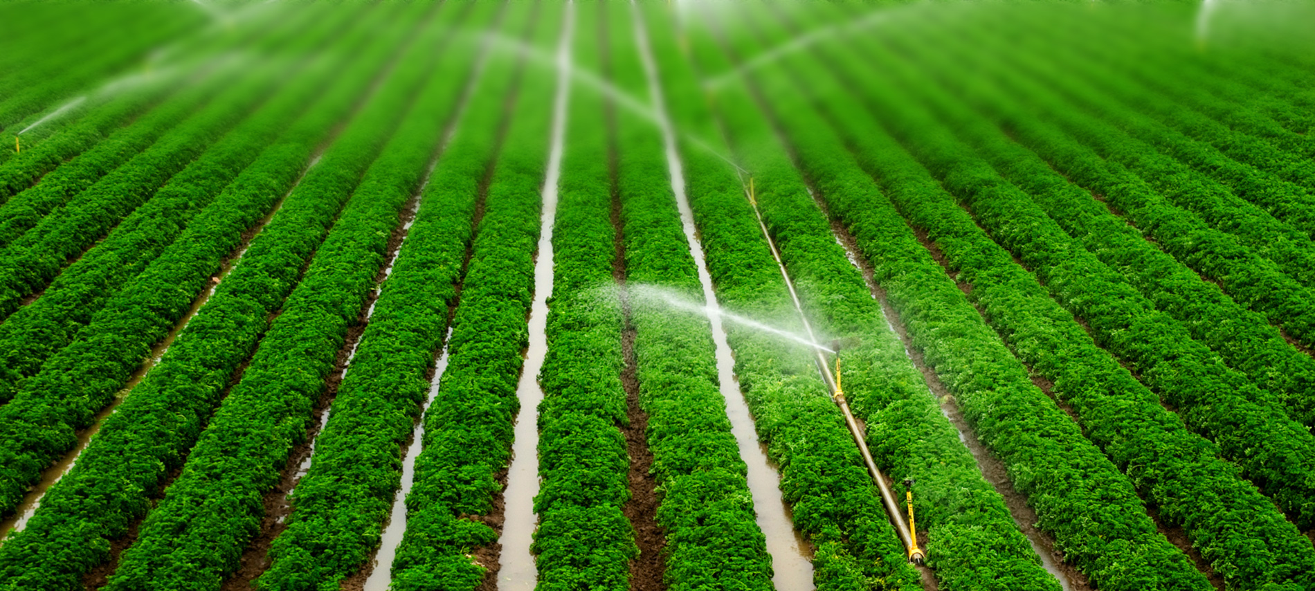
TETHYS AQUA calculates positive items (rain and irrigation) and negative items (evaporation from the soil and transpiration of plants) of the water balance, to suggest the exact quantity of water needed for your crops every day.
We use the satellite images, through the integrated use of two models (SEBAL and Penman-Monteith one-step), to calculate the crop coefficient Kc, a parameter that expresses the actual evapotranspiration capacity of plants.
The crop coefficient can vary greatly depending on the degree of development of the crops: a healthy and fully developed plant takes on a high Kc, a plant still growing and/or under stress takes on a much lower Kc.
It is therefore essential that the satellite's eye checks the actual growth condition of your crops to best calculate their water needs.
We use weather data on air temperature and humidity, rainfall, solar radiation and wind speed to focus on the environmental conditions in which your plants grow and calculate the actual evapotranspiration every day.
We acquire weather data from a leader in professional weather services: Radarmeteo provides us with radar images and data from a dense network of weather stations spread across Italy.
We thus have weather data4 day forecast. This saves the farmer from having to install and maintain expensive systems in the field (sensors, control units...).
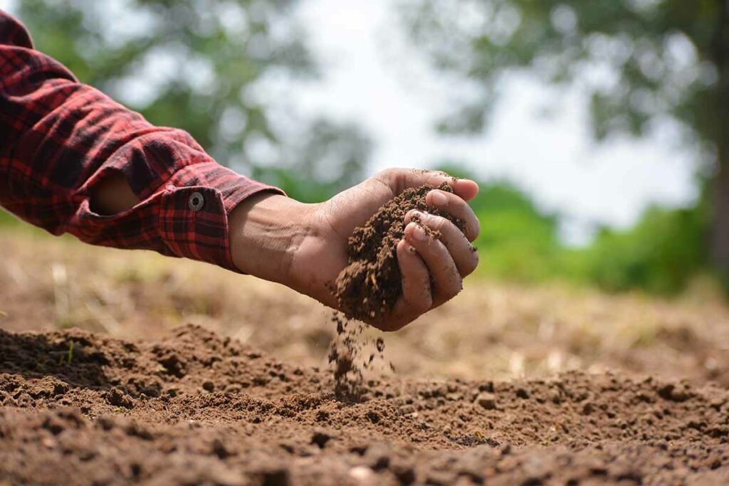
Finally, let's consider the drainage capacity of your soil, and therefore the time in which the water remains available to the roots, which varies depending on whether the soil is more or less sandy, more or less clayey or loamy.
There soil texture, i.e. the percentage distribution of sand, silt and clay, is therefore another of the inputs necessary for our algorithms.
We obtain this variable from regional and national maps, but obviously if you have already carried out specific analyzes of your company's soil, you can conveniently update the data on the pedological characteristics of the soil within your account.
With an average cost of €10 per hectare, TETHYS AQUA is the most precise and competitive irrigation advice of the market. Choose the solution that best suits you.
TETHYS AQUA is conceived in Italy,
by expert agronomists and developers with decades of experience,
animated by a genuine passion for protecting the environment.
TETHYS AQUA is designed to be useful, simple and quick.
We continuously improve it with your participation. Become TETHYS PARTNER.