L'evolution of precision agriculture, with its ability to use satellite data, is proving to have a crucial role in the prevention and management of parasite infestations in crops. Satellite images, in fact, can move up And to limit the impact of these threats.
The crescent globalization of trade hey climate changes they are introducing new threats to the agricultural fabric of our country. These parasites not only cause considerable economic damage but they also influence food security, the environment and the local economy. However, precision agriculture offers a new approach to face this challenge.
The role of satellite images
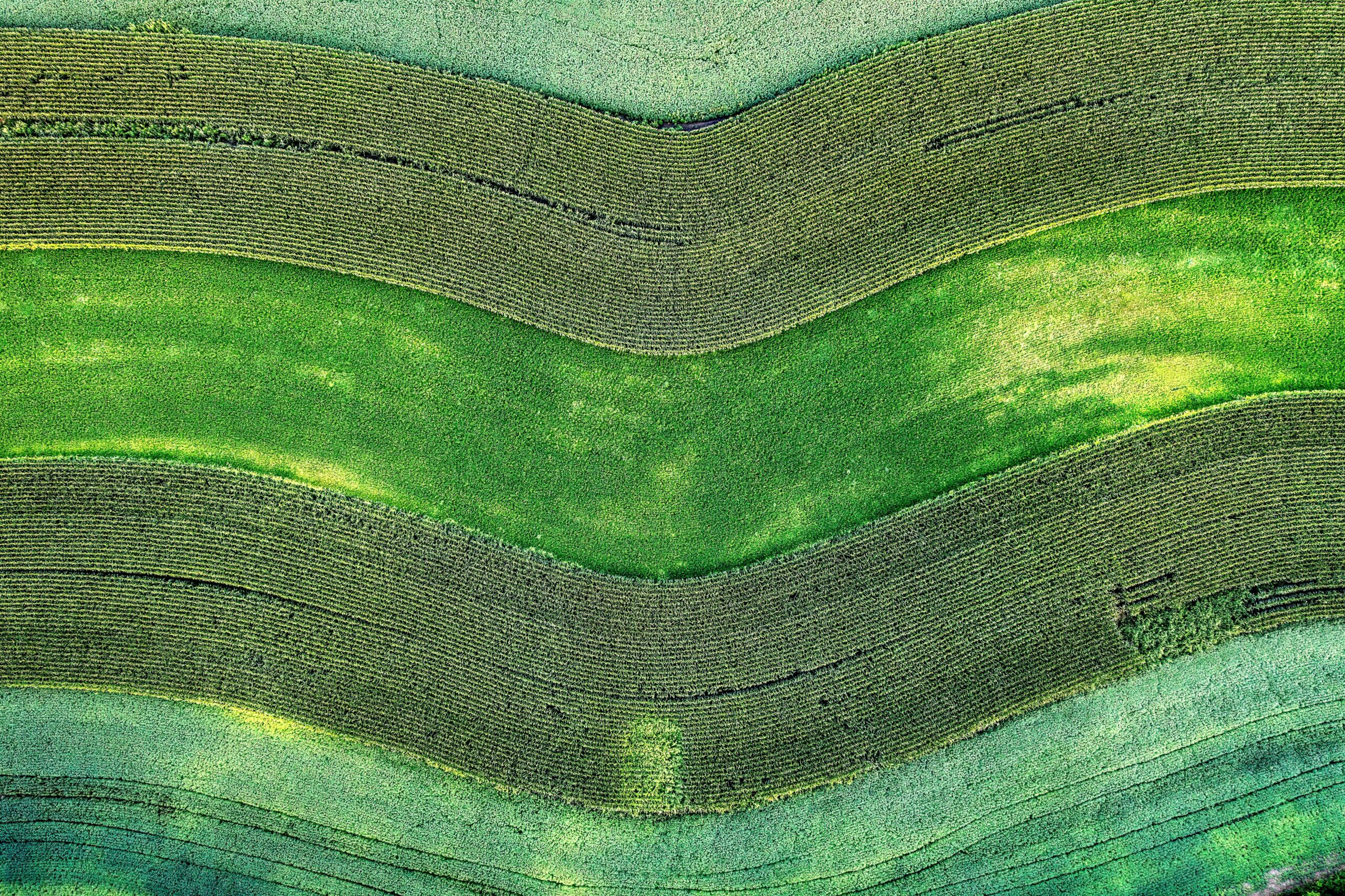
Through the use of satellite imagery, farms can anticipate and manage pest infestations more efficiently and effectively. The satellite monitoring technologies allow a complete view of the crops, early identification of signs of infestation or crop stress.
One of the main advantages of precision agriculture is its ability to harvest real-time data on crop performance, allowing farmers to intervene promptly. The use of technologies based on satellite images allows you to identify areas at risk, optimizing thus the targeted application of phytosanitary treatments And reducing at a minimum theexcessive use of pesticides.
Experience in using data acquired through satellites has proven theirs effectiveness in identifying and monitoring specific parasites as the golden flavescence, the Asian bedbug and other invasive insects. Thanks to this technology, it was possible to outline preventive strategies targeted and timely responses for protect crops.
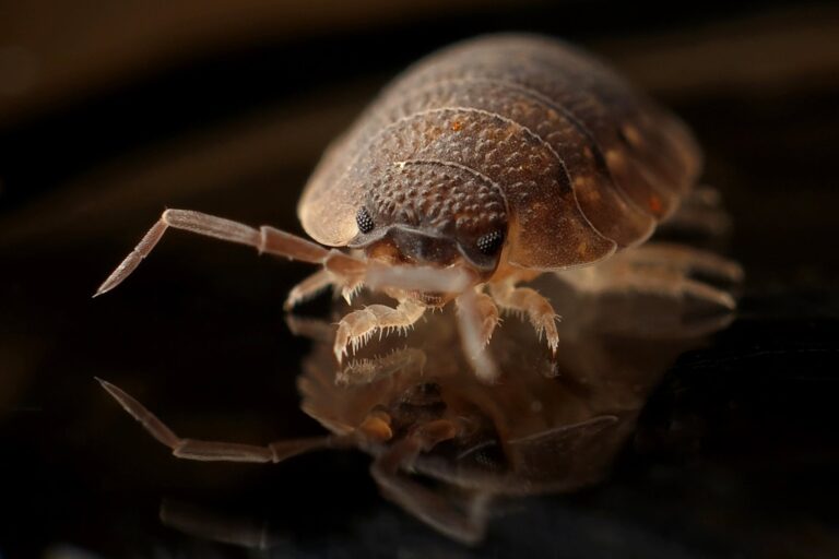
Some of more harmful parasites that threaten agricultural crops include Golden flavescence, native to North America and transmitted by the leafhopper Scaphoideus titanus, which can cause deterioration or death of the vines and the Asian bedbug, coming from China, which constitutes a serious threat to fruit growing.
The data acquired thanks to satellite images allow for the timely identification of areas at risk, allowing targeted and preventive intervention. Another worrying parasite is theErwinia amylovora, responsible for bacterial fire blight, which affects pome fruits and various ornamental plants. There accurate mapping of the affected areas simplifies eradication.
The killer gnat Drosophila suzukii represents another threat, especially for berry crops, as well as the Black awl, an exotic beetle that decimates the fig population: it is possible to field both varieties preventive actions and targeted interventions For counteract its spread.
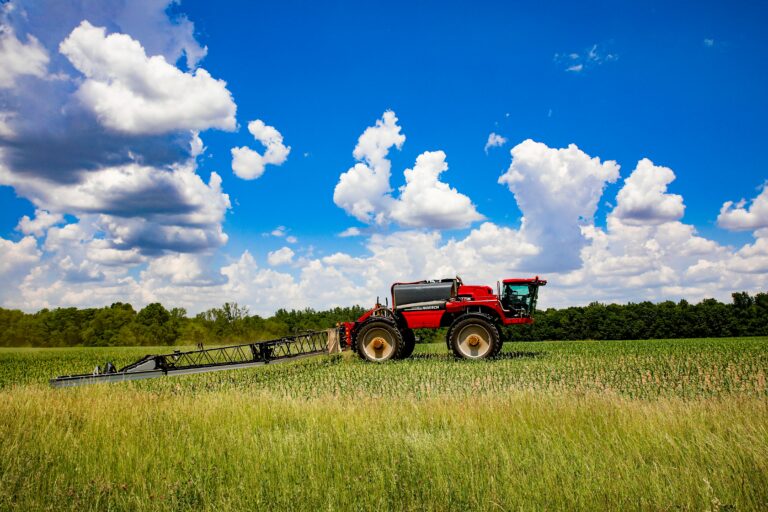
The AI revolution
Furthermore, the integration of satellite data with artificial intelligence systems And predictive models is revolutionizing the approach to infestation management. This synergy allows for a more accurate prediction of potential pest outbreaks, allowing farmers to adopt timely preventive measures.
In conclusion, luse of satellite images in the field of precision agriculture it proves to be a fundamental pillar in the fight against parasite infestations. The ability to move up, identify And react promptly to such threats results not only in one greater sustainability of crops, but also in one more efficient and responsible management of agricultural resources.




Leave a reply